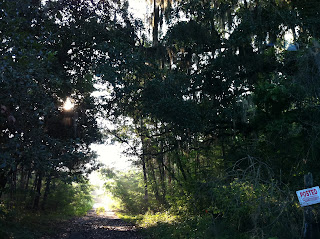
 If you've ever been curious as to what life would be like living in a sauna, then come on down to the Southeast. Honestly, the second I walk outside I feel like I stepped in front of a lawn mister. Luckily enough for me, I have physics to keep me busy, so I'll be planting myself firmly on the couch (in the AC) for the next 10 hours while the sun continues to beat down outside my door. Yesterday, a strong shortwave trough moved through much of the southeast, bringing a good bit of severe weather to portions of Mississippi, and dropping a hefty .05 inches here in Gainesville. That was, of course, me being facetious. With over 310 wildfires scorching the state of Florida, and a declared state of emergency by Rick Scott, it was almost an insult to receive such an insignificant amount of rain from yesterday's system. Any rain is helpful though, so I suppose I shouldn't be too pissy with Mother Nature. That being said, Gainesville's high today is 99, as is tomorrow's. If we hit 99 or higher, we'll break temperature records (of 99 degrees) from 1907 (today) and 1909 (tomorrow). Fun, right? I snapped a few pictures from yesterday (pre-storm) and this morning after the front had moved out of the area.
 Tomorrow and Thursday seem to be looking nice and wet, with a 30-40% pops (probability of precipitation) in Gainesville. This weekend, we'll have a good chance of scattered showers as an upper level trough over the W. Atlantic allows disturbances to move in and mix with the sea breezes.
I'm taking a beach trip on Saturday, rain or shine, so expect a few pictures and a blog post after I get back. Unfortunately, I've run out of things to say and am swimming in physics homework that seems to have piled up without my noticing, so have a great week and stay cool!
WeatherTroll


No comments:
Post a Comment